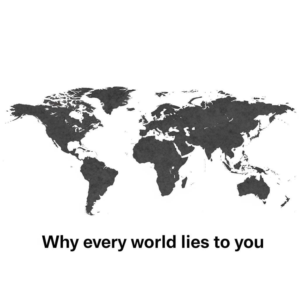
Every flat map of Earth lies to you. The mathematical impossibility of accurately representing a sphere on a flat surface forces cartographers to make choices that warp our perception of geography.
The Mercator Problem
The most familiar world map projection, developed for nautical navigation, massively distorts size near the poles. Greenland appears roughly equal to Africa, though Africa is actually 14 times larger. This projection became standard in classrooms despite its known distortions.
Alternative Projections
The Gall-Peters projection maintains accurate area relationships but distorts shapes. The Robinson projection compromises between size and shape but achieves neither perfectly. The Winkel Tripel minimizes multiple types of distortion and is now preferred by many geographic organizations.
Why It Matters
Map distortions shape how we perceive the world. Centuries of Mercator-projection maps have made European and North American countries appear larger relative to tropical nations, potentially influencing geopolitical perceptions and attitudes.
There Is No Perfect Solution
Mathematically, you cannot flatten a sphere without distorting something—area, shape, direction, or distance. Every map projection preserves some properties while sacrificing others. Understanding these tradeoffs helps interpret any map more accurately.
Modern Solutions
Digital globes avoid projection problems entirely. Software can show any projection and switch between them, helping users understand how different representations affect perception.
This article was generated by AI to provide informational content.